Shackleford Ridge County Park, Signal Mountain Tennessee - Signal Mountain, TN


Shackleford Ridge County Park – Pet-Friendly Hiking in Signal Mountain, Tennessee
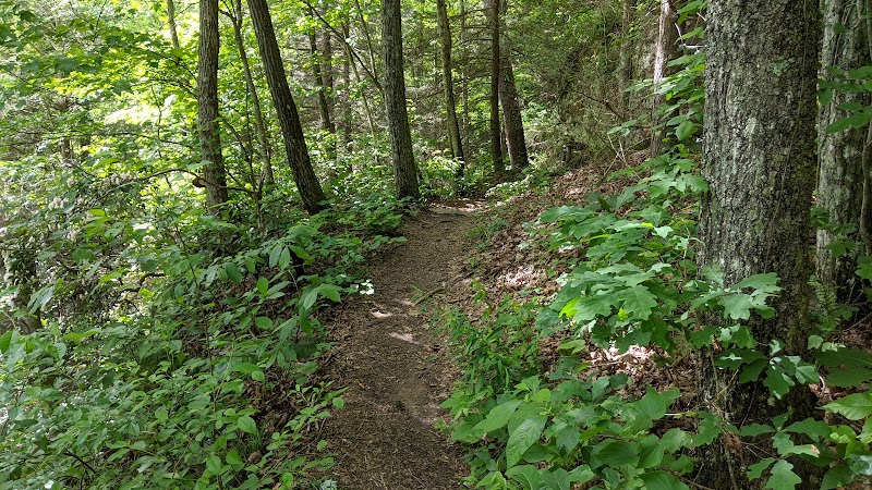
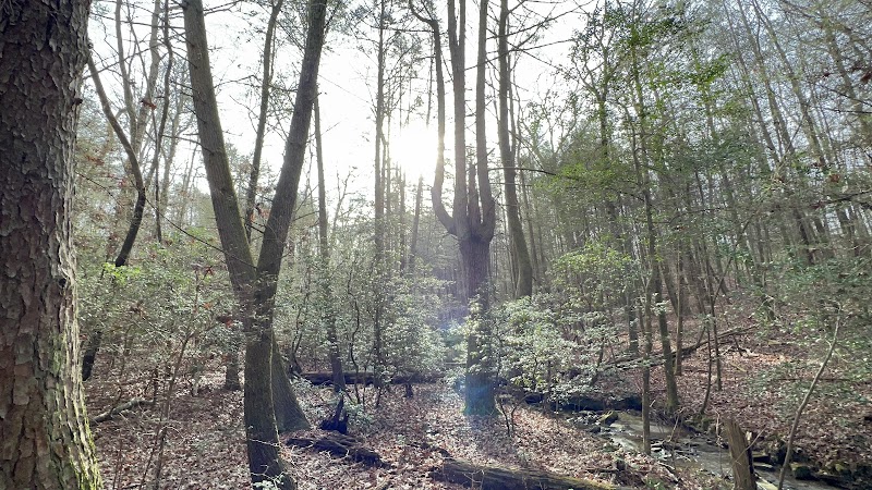
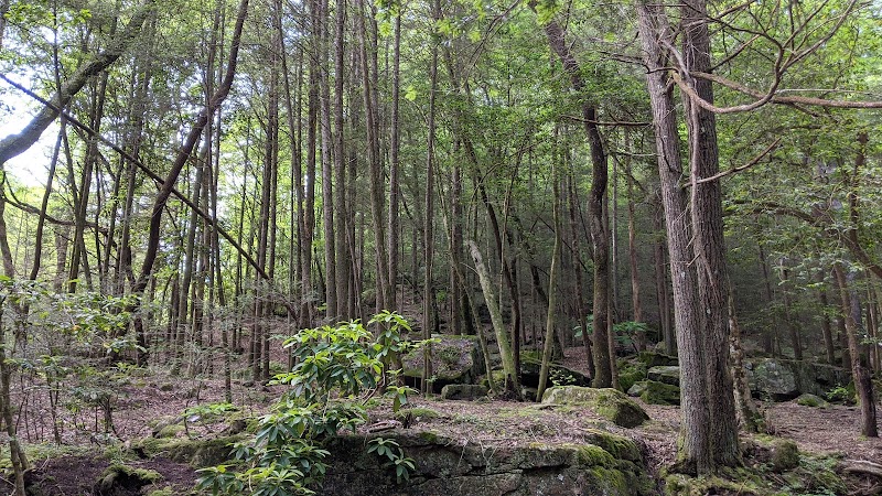
Shackleford Ridge County Park in Signal Mountain, Tennessee, is a local gem offering dog-friendly hiking trails and beautiful forest scenery perfect for outdoor lovers and their four-legged friends. Known for its accessible amenities, the park features a wheelchair accessible entrance and parking, making it welcoming to everyone. Dogs are allowed on all pet-friendly trails, providing a great destination for those searching for a dog park or dog-friendly hiking spot near Chattanooga.
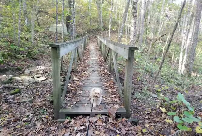
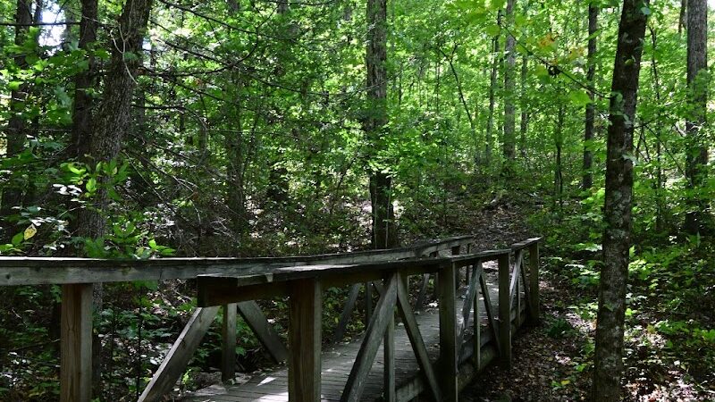
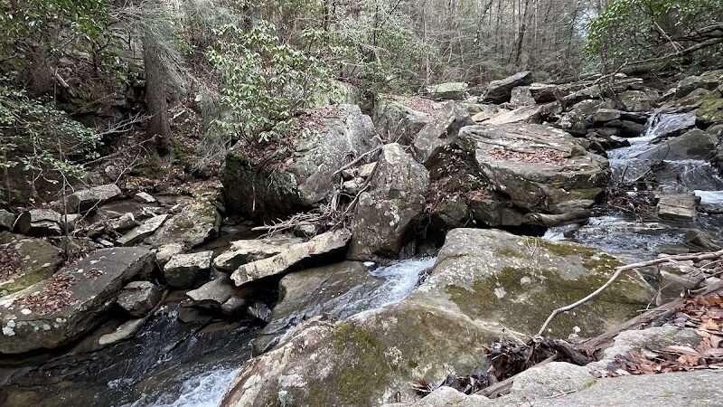
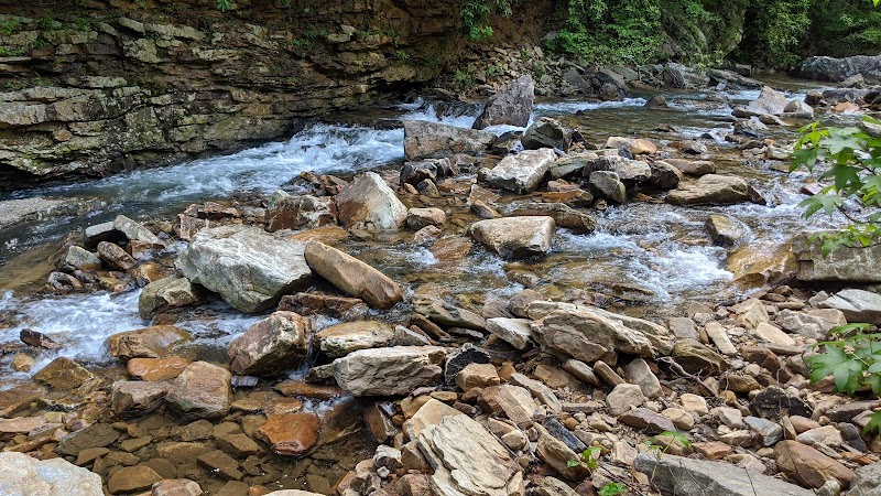
The trail system includes highlights like swinging bridges, covered bridges, and the popular Mushroom Rock trail, making every visit a unique adventure. The park boasts public restrooms, is good for kids, and features kid-friendly hikes, so families can enjoy the outdoors together. Note that some trails may be muddy after rain or have washouts, so pack sturdy shoes for your trip. During school pick-up and drop-off, access to the trailhead may be busy due to its location near Signal Mountain Middle School.
Frequently Asked Questions
- Are dogs allowed at Shackleford Ridge County Park? Yes, dogs are allowed on all hiking trails in the park.
- Is Shackleford Ridge County Park wheelchair accessible? Yes, the park has both a wheelchair accessible entrance and parking lot.
- Are there public restrooms available at the park? Yes, there are public restrooms available for visitors.
- Are there trails connected to the dog-friendly areas? Yes, the park offers several scenic trails including the Mushroom Rock and Blue Loop trails, all of which are pet-friendly.
- Is the park good for kids? Yes, the park is kid-friendly with suitable hikes for children and families.
- Is parking available at the park? Yes, there is parking available at the park, but it can be more crowded during local school pick-up and drop-off times.
Reviews
Blue Loop is good, it has some ankle twisters in the first .2 miles but easy sailing the rest of the loop.
A nice place to hike, many downed trees.
Great trails to walk your dog. Swinging bridges as well as covered bridges are among some of the trail features. Some trails are now in need of some maintenance… so wear yer boots!
Fantastic trails to mushroom rock. A lot of popular hiking trails are very rutted, rocky and washed out but not this one. My daughter and I thoroughly enjoyed the hike, the trail and the time we got to spend together in nature.
Sort of part of the Nolan, Signal Mountain, Signal Middle School block and so it can be challenging to get to the trail head during the school pick up/ drop off times. I found the mushroom Rock trail this time thanks to these Google comments! When going to the trailhead sign turn left and head up the trail you’ll come to a fork and if you go right you’ll be on the Red trail which is the mushroom trail and it’s not on the map. If you go left you’re on the blue loop trail and there is a blue loop trail sign. You will not see red markers until a few hundred feet. Then you’ll continue to see red markers and a few mushroom Rock signs. It’s not a long hike and you can definitely do a round trip in an hour or less. So happy I found this trail! Hope you find it too!