🐾 Kids at the Dog Park: Real Stories, Safety Risks & Smarter Solutions
If you’ve spent time at an off-leash park, you’ve probably seen it:A parent strolls in with a stroller 🚼 or […]

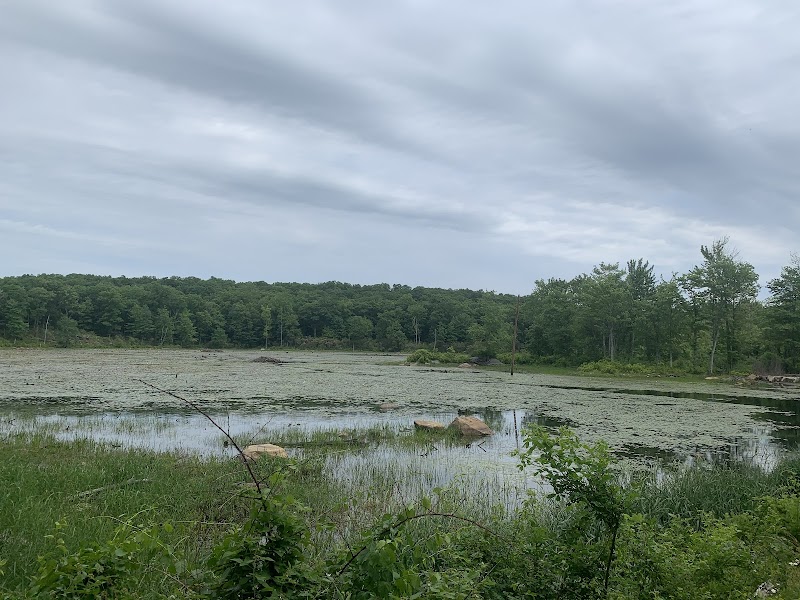
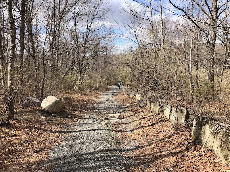
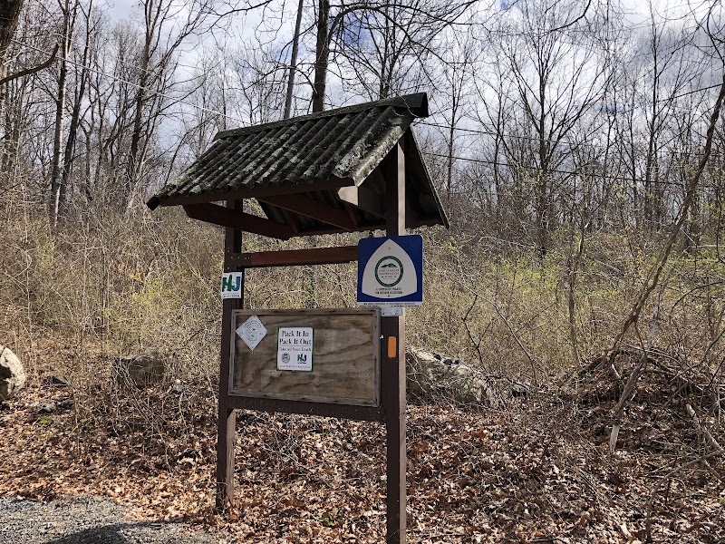
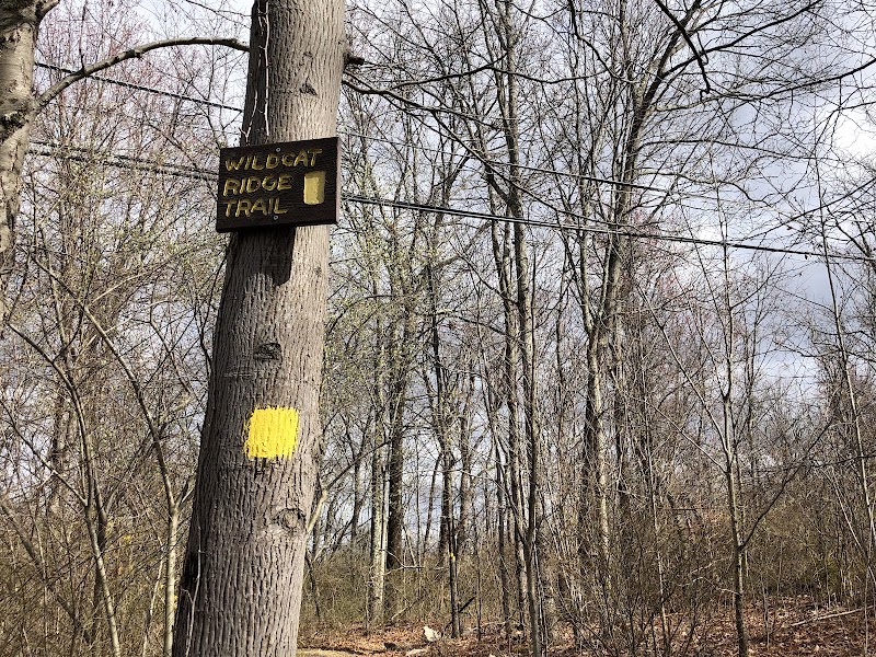
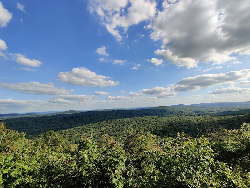
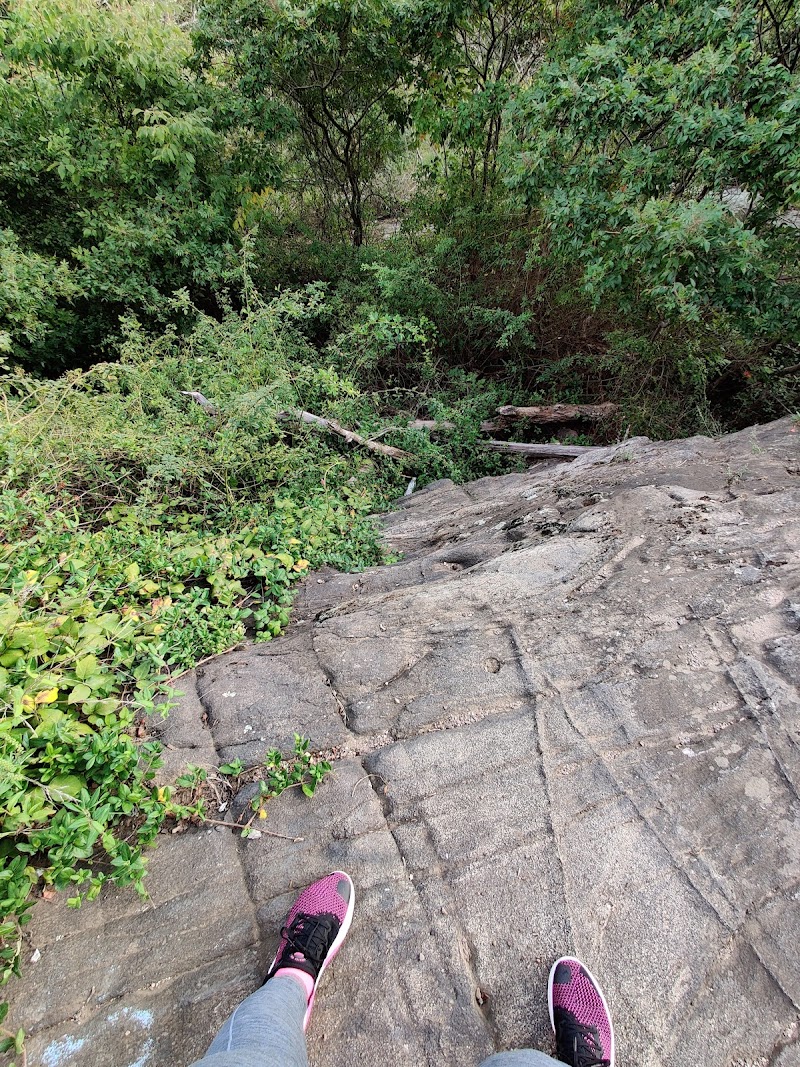
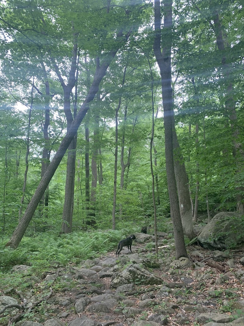
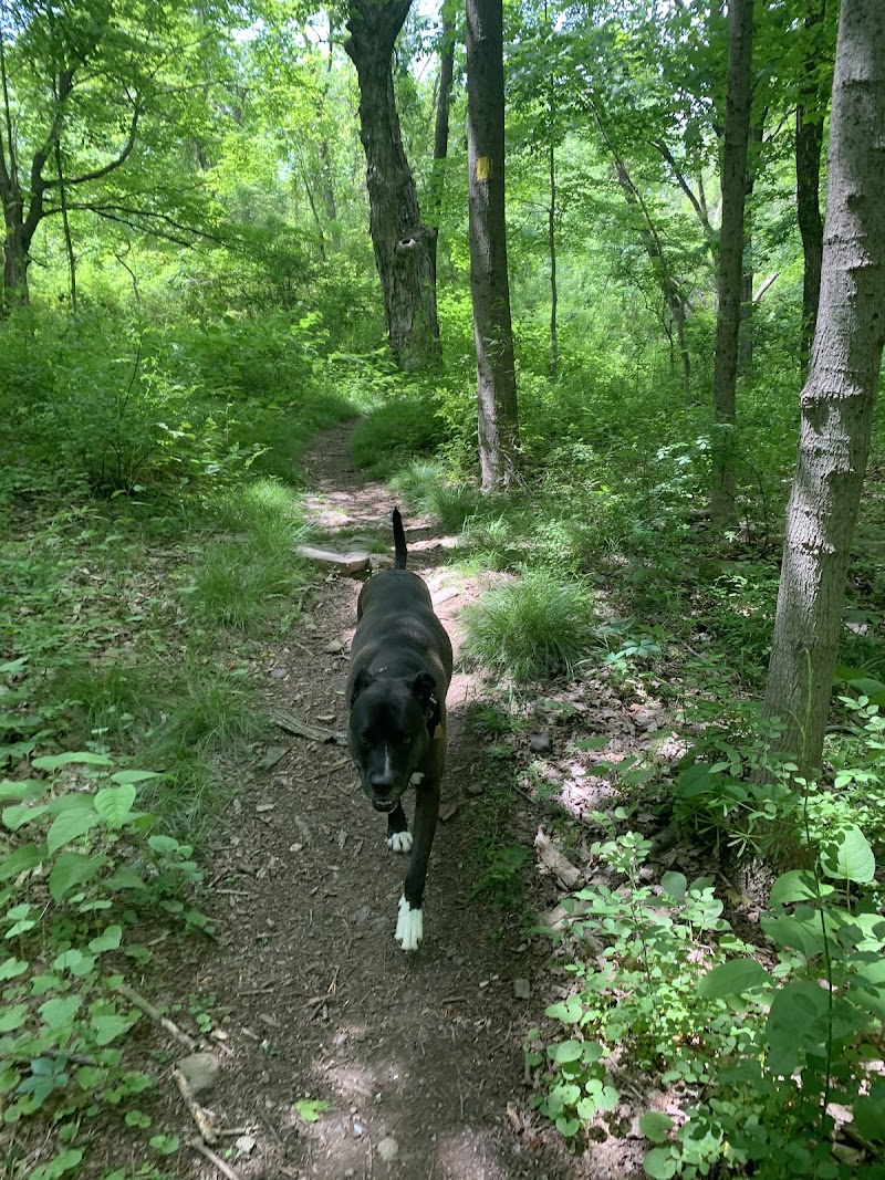

The Wildcat Trailhead is a scenic pet-friendly destination nestled in Rockaway Township, NJ, known for its quiet hiking trails and natural landscapes. Located on Upper Hibernia Road, this spot offers dog owners spacious walking paths that meander through wooded areas, reclaimed gravel roads, and past historic mine ruins, making it an inviting place for a dog-friendly hike near northern New Jersey.
The large parking area is seldom full, ensuring ample space for visitors and their canine companions. While there are no fenced off-leash play zones specifically for dogs, leashed pets can enjoy the peaceful hike, encounter gentle streams, and explore beautiful ridge vistas. Please note there are no formal amenities like water fountains or shelters, and restroom access is limited to a porta potty at the parking lot. It’s a wonderful choice for dog owners seeking quiet, nature-focused walks in Morris County.
From here one can head northeast to explore the Upper Hibernia Mine ruins, south to Hawkwatch, or west down to the Lower Hibernia Mine ruins. The parking area is large and we’ve never seen it full. There are no bathrooms and the trailhead has no maps. Many of the trails from here are reclaimed old gravel roads so it’s relatively easy to follow. Many maps show a road continuing past this point but it’s is blocked by a locked gate accessible only by vehicles for servicing to cell tower at the top of the ridge.
Not much to see, I would recommend it only for a walk and with someone else, I only saw one person on a bike during my 4 hr hike.
It’s ok, nothing special. No water on the hike, mainly a walk in the woods which ends up at the ridge which has a nice view
This was a nice little hike that reminded me of sourlands mountain trails. We did the out and back, which is different than the typical loops we do. The trail was varied enough to make the entire hike – both there and back – engaging physically. I did expect more going on – there were cute moments with boulders and little streams and the ridge was nice but more petite than expected. We met a kind pair of bird watchers at the top but otherwise saw no one. Would’ve enjoyed a dip in the lake at the end – we went on a humid 90 ° day! The bugs were intolerable for most of the hike until a breeze picked up.
There’s a porta potty at the lot, then you walk back up the weird bridge where cars are likely to driving. The trail markers can be very sparse at times, I clipped my phone onto my chest strap for easy access. I’d recommend downloading the map for this trail in case of service issues.
Decent hike if you don’t want to drive 2 hours from the shore, but more of a one and done for me personally.
The colored code paths changes quickly. Started out orange them briefly yellow (there a beautiful still pond/lake) then white then back to orangish-red which is where ultimate view is located. So breathtaking. Said ”omg” and ”oh wow” so many times.