Lower China Creek Trail - Lenoir, NC
Lower China Creek Trail Dog Park in Lenoir, North Carolina
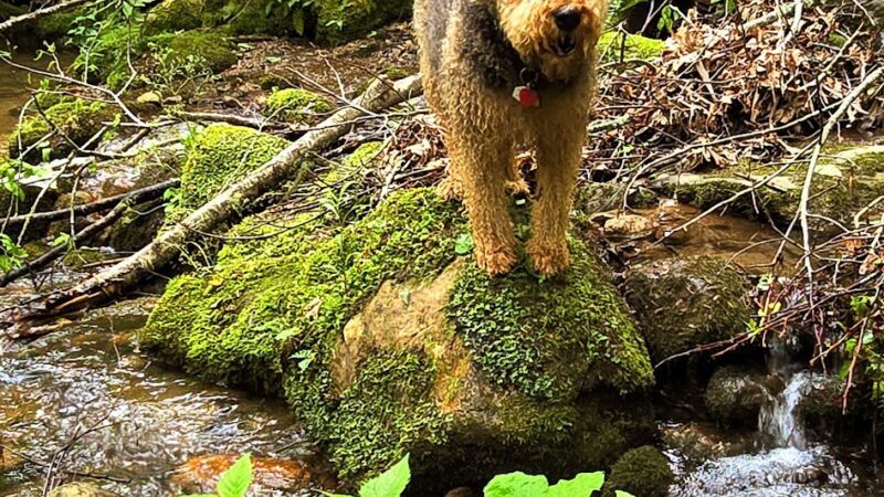
Lower China Creek Trail offers dog owners in Lenoir, NC, a scenic, pet-friendly destination featuring both a dog park and picturesque hiking trails. Known for breathtaking mountain views, peaceful surroundings, and a clean, well-maintained environment, this spot is ideal for those seeking dog-friendly hiking and outdoor adventures in the North Carolina foothills. The park provides distinct fenced areas for both large and small dogs to play off-leash, with agility obstacles available for enrichment. Ample parking, shaded benches, and beautiful creekside trails make visits convenient and enjoyable for both pets and their humans.
Beyond the dog park, Lower China Creek Trail has a variety of family amenities, including picnic areas, covered shelters, a playground for kids, and sports facilities like a baseball field and basketball court. The park is lauded for its tranquil atmosphere, wildlife, and seasonal features such as Christmas light displays, making it a year-round destination for families and pet-lovers alike. Whether you’re seeking a refreshing hike, a safe space for your pup to socialize, or a scenic spot for a family outing, this dog park in Lenoir, North Carolina, is a must-visit!
Frequently Asked Questions
- Are dogs allowed off-leash at this park? Yes, dogs are allowed off-leash in the designated fenced areas.
- Is there a fenced area for dogs? Yes, there are fully fenced areas for dogs, including separate spaces for small and large dogs.
- Are there water fountains or bowls for dogs? Yes, there is a water station for dogs available inside the park.
- Is there shade or shelter available? Yes, the park features shaded areas and a covered seating area for owners.
- Are poop bags or waste stations provided? Yes, poop pick-up bags are available in the dog park.
- Are there benches or seating areas for owners? Yes, there are benches inside the dog enclosures for owners to relax and watch their pets.
- Is there a separate area for small and large dogs? Yes, there are dedicated areas for small and large dogs.
- Are restrooms available for owners? Yes, public restrooms are available at the park.
- Is there a playground or activities for kids nearby? Yes, the park has a playground with swings and equipment for children, as well as picnic spots and sports courts.
- Is the park open year-round? Yes, the park is open year-round and features seasonal amenities like a holiday light show in winter.
- Is there a fee or membership required to enter? No, the dog park is free to use.
- Is the park regularly cleaned and maintained? Yes, visitors note that the park is clean and well-kept.
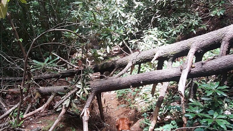
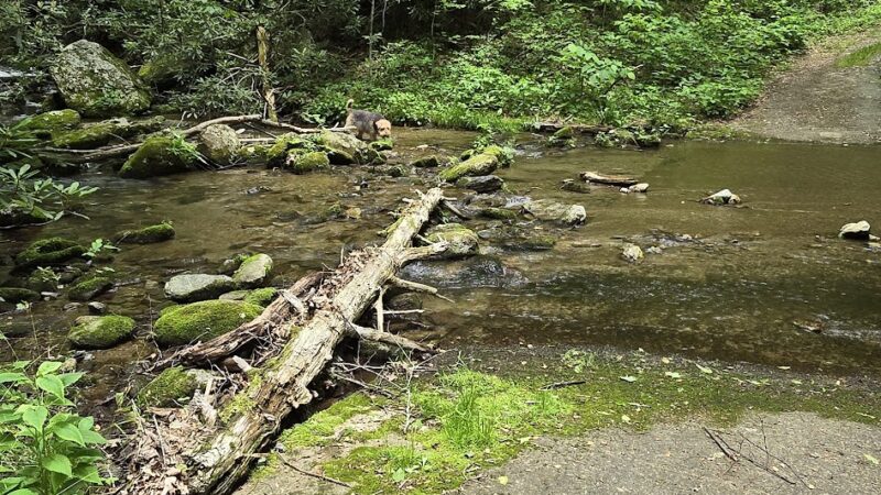
- Are there walking or hiking trails connected to the park? Yes, Lower China Creek Trail offers extensive dog-friendly hiking trails and creek crossings.
- Is there agility equipment for dogs to play on? Yes, both dog areas are equipped with agility obstacles.
Reviews
3 stars
Very nice scenery, easy to walk. Entrance is a little bit hidden. Once you find it you will see a clear trail to follow. Very lonely, I didn’t see a single person on my 2hr walking session. I went with my dog and no problem
5 stars
gravel road from blowing rock and start isn’t clear. when you see the sign for the 4017 dirt road.. which is a bit hidden then you are there. park and take the 4017 about a half mile and keep looking left until you see a tree with red paint on it.. a narrow trail leads down hill.. it has some black gravel on it..
the trail is very little traveled though there is signs of some maintenance.. however there are zero markers…
early on the trail takes a detour from the gps track… looks like the old trail had damage and got overgrown but a new trail was formed.. it goes out and around and then back to the original trail.
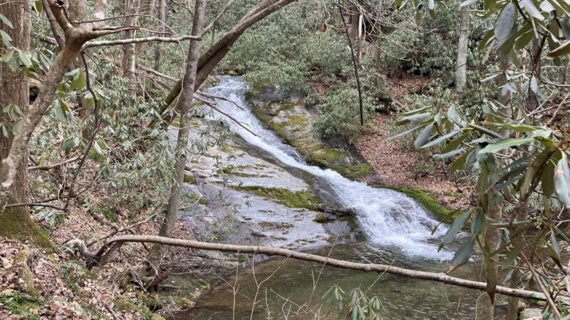
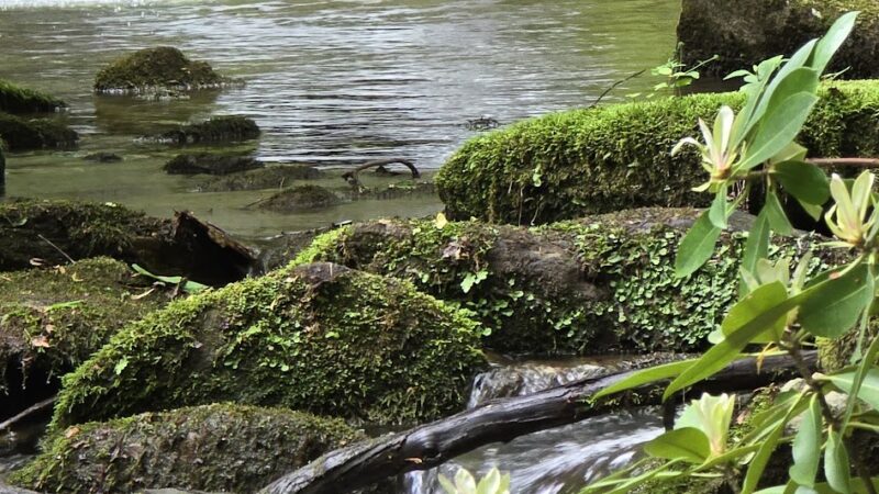
there are about 6 water crossings.. trail just ends into the creek and you see it on the other side. when we were there it was dry but the week before there was a lot of rain so all the crossings were high… no rocks to walk on safely.. a few were calf deep.. the water was crystal clear and the rocks were not super slippery or just walk in the very large ones or just walk in the pebbly bottom…
the thunder hole fall had a marker if you looked backwards.. but walking up to it we didn’t see an easy way to get to the falls without using ropes.
after about 3 miles come back out to the 4017 which is just an open dirt road.. nice but not really hiking..
still what was a true trail was pretty..