Hart Creek Conservation Area - Hartsburg, MO
Hart Creek Conservation Area – Dog-Friendly Hiking in Hartsburg, Missouri
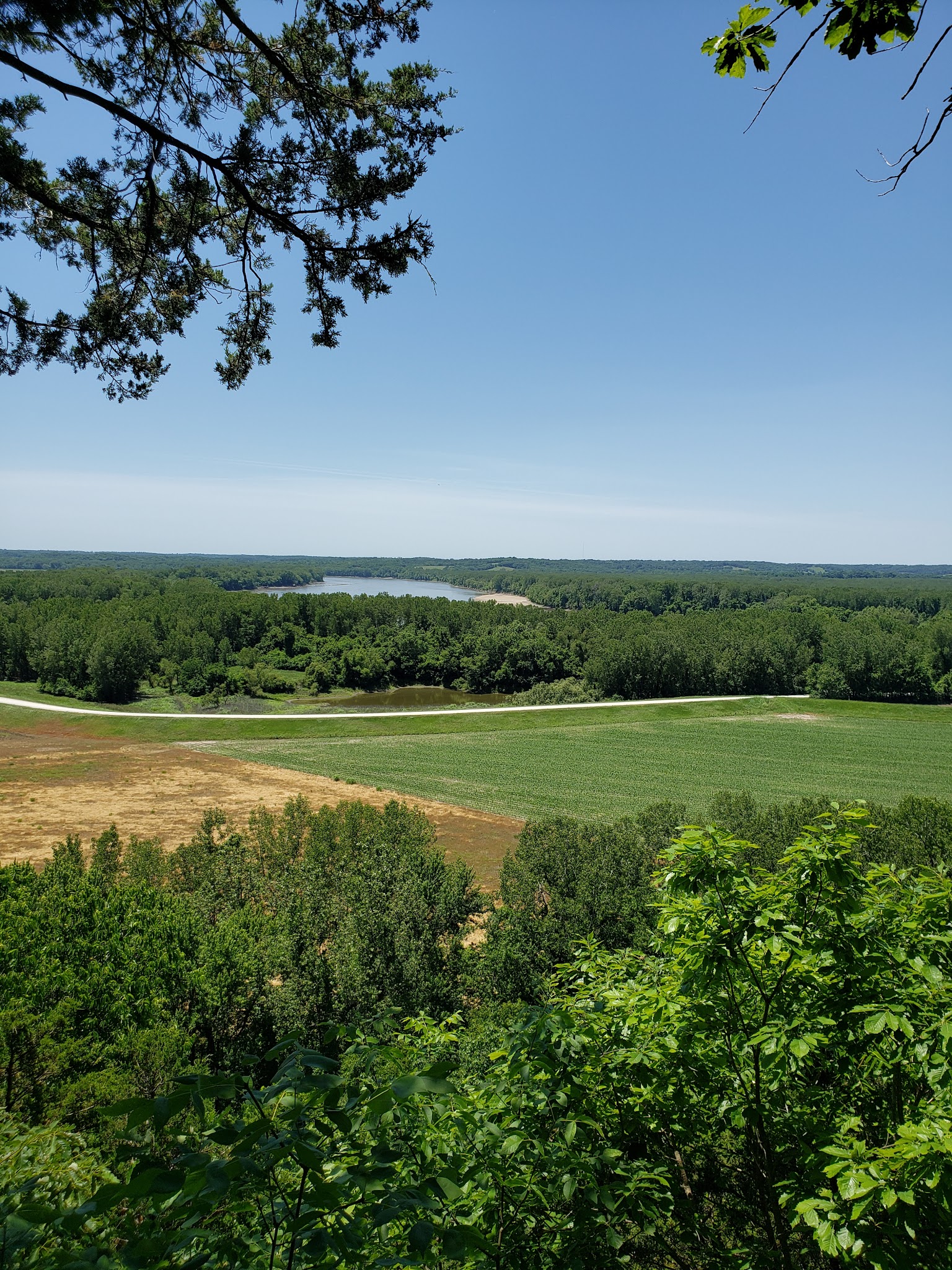
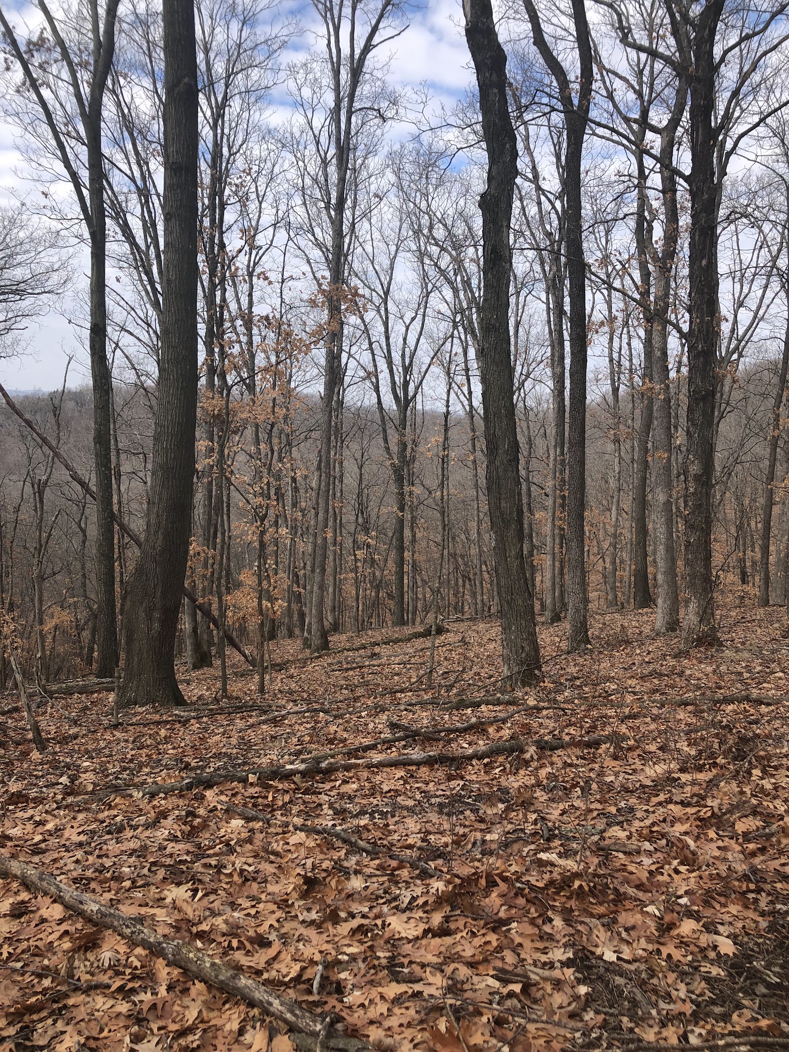
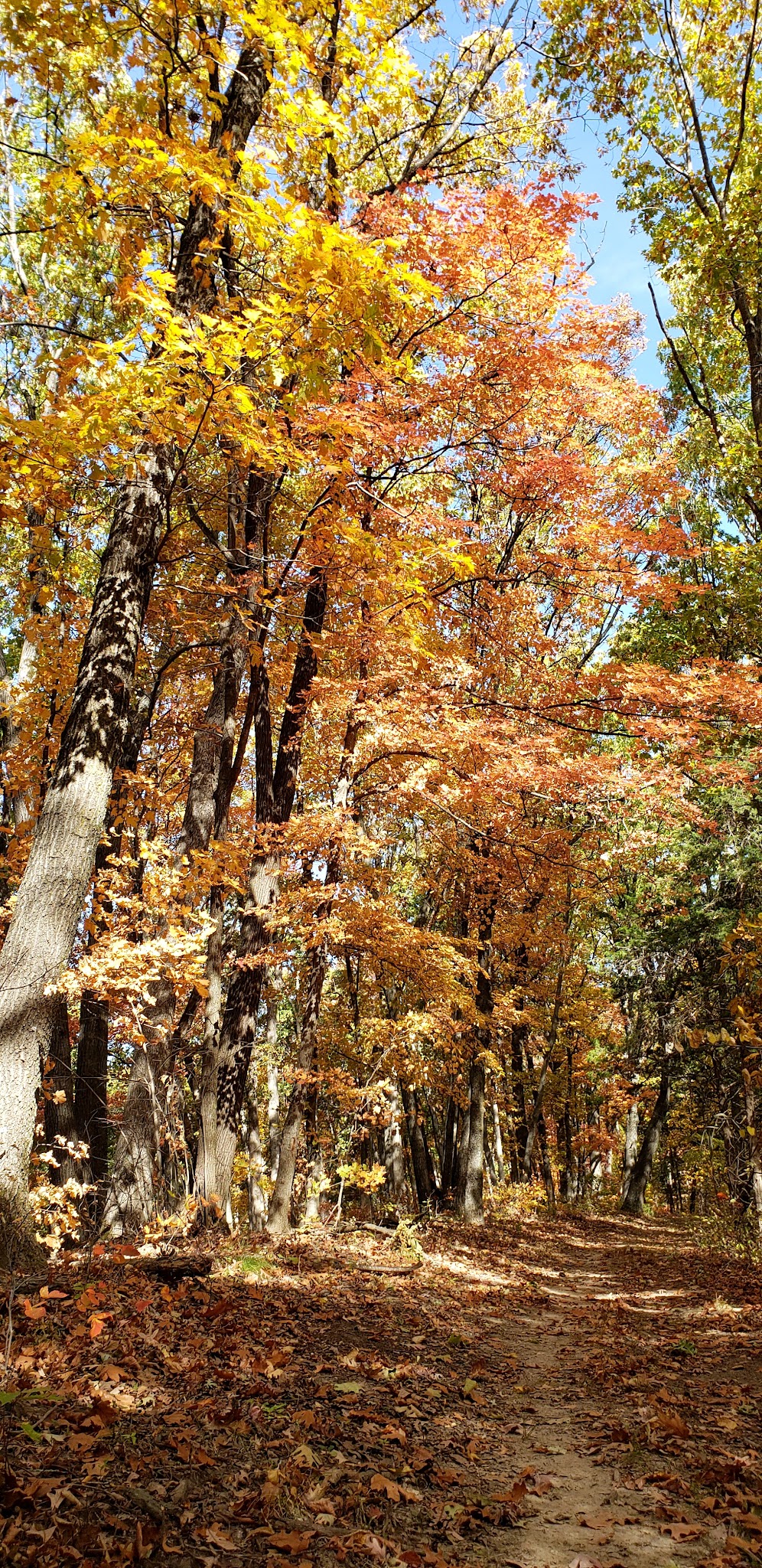
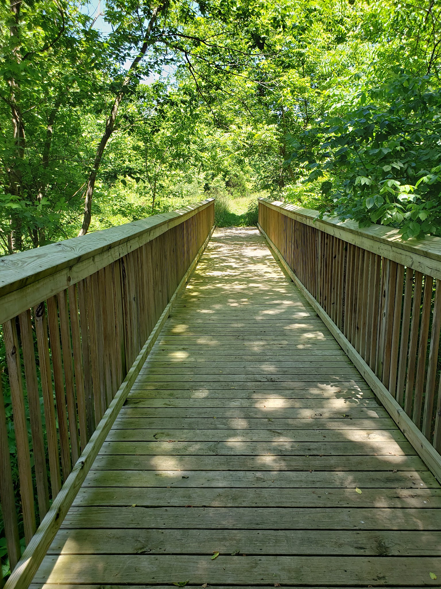
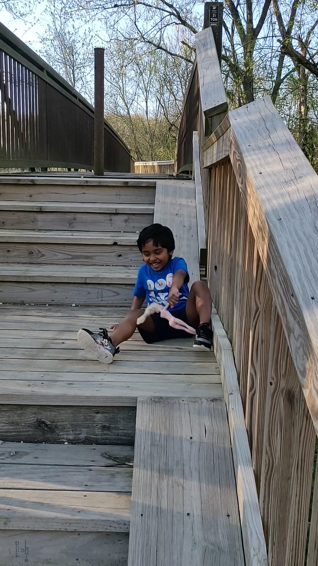
Discover the scenic beauty of Hart Creek Conservation Area, a dog-friendly outdoor space offering pet owners and nature enthusiasts miles of well-kept hiking trails in Hartsburg, Missouri. Although not a traditional fenced dog park, this location is welcoming to leashed dogs, and is known for its wide, well-maintained paths and breathtaking overlook. The trails here are gently uphill and wind through beautiful maple groves, making it a perfect destination for anyone seeking a natural adventure with their canine companions.
Dog owners should be aware that the trails are not marked and amenities are minimal—there are no restrooms, limited parking, and no dedicated dog facilities such as water fountains or fenced play areas. However, the peaceful environment, close connection to the Katy Trail, and the scenic outlook make Hart Creek a unique choice for dog-friendly hikes in the Hartsburg area.
Frequently Asked Questions
- Are there walking or hiking trails connected to the park? Yes, Hart Creek Conservation Area features trails that connect to the Katy Trail, offering an extended pet-friendly hiking experience.
- Is there shade or shelter available? The hiking trails are lined with plenty of trees, providing natural shade, especially during the leafy seasons.
- Is there parking available? There is limited parking available at the park, so plan accordingly during busier times.
- Are restrooms available for owners? No, there are no restroom facilities at Hart Creek Conservation Area.
Reviews
Wide well kept trail, mostly uphill on the way to the outlook, nice, wide, well kept path. There’s a decent view at the end, I didn’t take a picture of it, but enjoy some close up pictures of bugs and plants.
Wide well kept trail, mostly uphill on the way to the outlook, nice, wide, well kept path. There’s a decent view at the end, I didn’t take a picture of it, but enjoy some close up pictures of bugs and plants.
Wide well kept trail, mostly uphill on the way to the outlook, nice, wide, well kept path. There’s a decent view at the end, I didn’t take a picture of it, but enjoy some close up pictures of bugs and plants.
The from the trail head to the look out deck is approximately 2.9 miles (5.8 miles round trip). They could have just said that in the trail flyer. No they give you a straight line scale that is worthless unless you have a string on you. I figured a mile an half LOL. It is not real steep, but is up hill most of the way. Bring water with you. It would be nice for at least a bench at the deck for old people like me.
The from the trail head to the look out deck is approximately 2.9 miles (5.8 miles round trip). They could have just said that in the trail flyer. No they give you a straight line scale that is worthless unless you have a string on you. I figured a mile an half LOL. It is not real steep, but is up hill most of the way. Bring water with you. It would be nice for at least a bench at the deck for old people like me.
The from the trail head to the look out deck is approximately 2.9 miles (5.8 miles round trip). They could have just said that in the trail flyer. No they give you a straight line scale that is worthless unless you have a string on you. I figured a mile an half LOL. It is not real steep, but is up hill most of the way. Bring water with you. It would be nice for at least a bench at the deck for old people like me.
I’ve pushed my bike to the top just to fly back down, 20″ bike from the top . Hiked and camped very beautiful.
I’ve pushed my bike to the top just to fly back down, 20″ bike from the top . Hiked and camped very beautiful.
I’ve pushed my bike to the top just to fly back down, 20″ bike from the top . Hiked and camped very beautiful.
It is a perfect hike. Beautiful leaves, managable hills, lots of maple trees. We had a wonderful time with a group of 10. Trail is not marked, try Left, Right, Left, 3 turns, you will get to the right trail. No washroom or picnic table, and very limited parking spaces. But worth it!